

Mailing List
Sign up for our mailing list to get latest updates and offers.
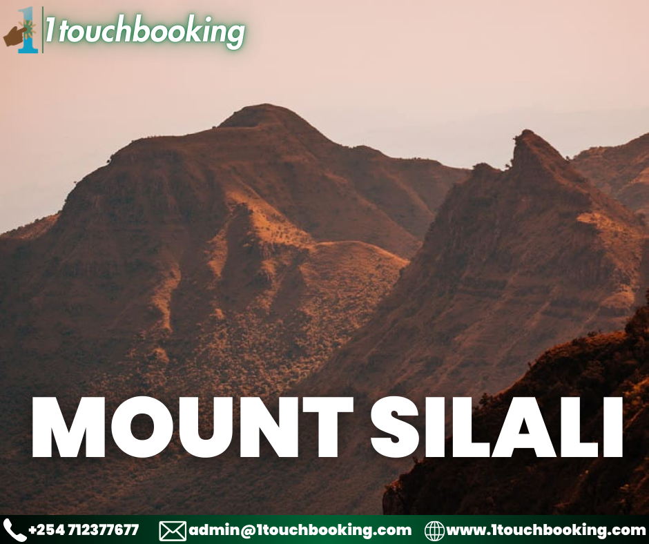
Mount Silali is a dormant volcano in the Gregory Rift Valley, near Kapedo, Kenya. Silali is south of the Suguta Valley, which reaches northward to Lake Turkana, and is about 70 kilometres (43 mi) north of lake Baringo.Mount Silali is part of a group of volcanoes, the others being Paka and Korosi, in the Loyamoruk Plains of the eastern Nginyang Division of Baringo County. Silali is a recent volcano that became active from 400,000 to 220,000 years ago, and was still active 7,000 years ago. It is the largest caldera volcano in the Gregory Rift Valley. Its pre-caldera development began with mainly peralkaline trachyte lavas and pyroclasts, succeeded by mildly alkaline to transitional basalts. The basalts of the mountain are similar in composition to oceanic island basalts, but have a range of isotopes indicating a variety of origins.
The Kenya rift is oriented north-south, and in the past the minimum horizontal tectonic stress direction was east-west, the direction of extension. The alignment of rows of recently formed small vents, cones, domes and collapse pits in the Silali region indicates that the minimum horizontal stress direction has changed to NW-SE within the last half million years.
Member Since Feb 2024
